
Altoona, Pennsylvania: the railroad city, explained
Altoona Explained is a set of plain reference pages about one city: why a railroad company drew it on a map in 1849, how its shops and Horseshoe Curve carried trains over the Allegheny Front, and how its government, landmarks and population changed. Every fact comes from a named public record.

Eight dates that explain the city
- 1834The state's Allegheny Portage Railroad opens over the mountain on inclined planes.
- 1846Blair County is formed, and the Pennsylvania Railroad is chartered.
- 1849The railroad's engineers lay out and name Altoona on a farm in the Logan Valley.
- 1854Horseshoe Curve opens on February 15. Altoona becomes a borough.
- 1868Altoona is chartered as a city.
- 1925The shops reach peak employment, about 16,500 workers.
- 1930The census records the peak population: 82,054.
- 1946The last locomotive is built in Altoona's shops.
Seven reference pages, in reading order
Each page stands on its own, but read in order they tell one story: a valley, a railroad decision, a town, a climb over a mountain, and the city that grew and shrank with the shops. Every page lists the documents it relies on.
-

How the Pennsylvania Railroad laid out Altoona
A farm in the Logan Valley, a railroad decision in Philadelphia, and a town drawn on a grid.
-

The Pennsylvania Railroad shops at Altoona
Repair shops, locomotive works, thousands of workers, and the long decline after steam.
-
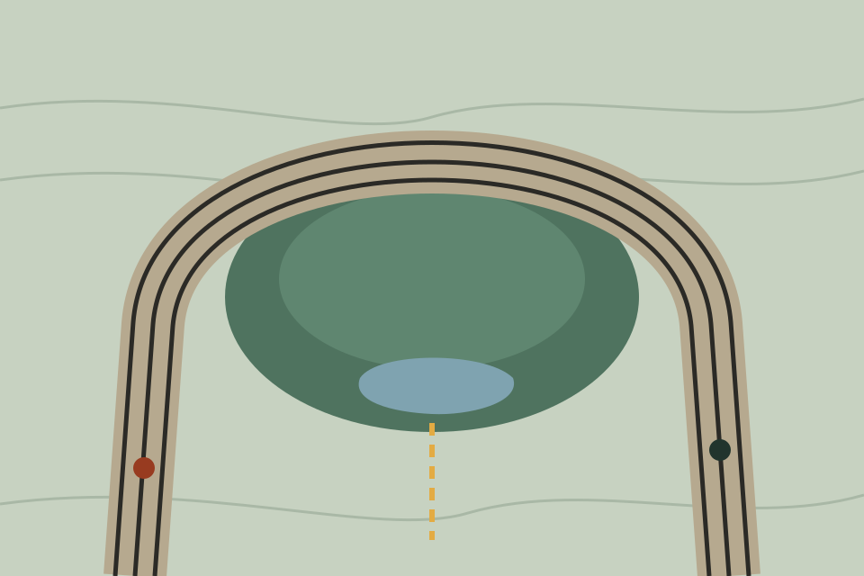
Horseshoe Curve: how the railroad climbed the mountain
A loop around a side valley that let trains gain height without inclined planes.
-
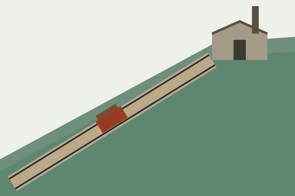
The Allegheny Portage Railroad, before the curve
Ten inclined planes, a canal system across the state, and a national historic site today.
-

Geography: the Allegheny Front and Blair County
A mountain wall, a wide valley, two watersheds and a county formed in 1846.
-

Local government and civic history
Borough, city, charters, public services, annexation and population.
-

Public landmarks in and around Altoona
Landmarks named in federal and state records, and what those records say.
A reference, not a guide to what is on this weekend
Much of what is written about any city goes out of date quickly: opening hours, events, who holds which office. This site leaves those out and sticks to things that stay true, drawn from the National Park Service, the Library of Congress, the US Census Bureau and the Pennsylvania Historical and Museum Commission. Where those sources disagree, the page says so.
- Public records onlyFacts come from federal and state historical and statistical records, named on each page.
- No listingsNo businesses, events, prices, addresses or reviews. Nothing is sold or advertised.
- IndependentNot the city's or county's website, and not connected to any railroad, museum or earlier website on this domain.
The railroad city in three numbers
- 2,375 feetthe length of Horseshoe Curve, opened in 1854
- 6,873locomotives built in Altoona's shops between 1866 and 1946
- 82,054people at the 1930 census, the city's peak
Each figure comes from a Pennsylvania Historical and Museum Commission marker essay or the Historic American Buildings Survey report on the city, as the topic pages explain.