
Seven pages on Altoona, in reading order
Each page covers one part of the city's story and names the public records it relies on. Read them in order the first time; after that, each stands on its own.
-
How the Pennsylvania Railroad laid out Altoona
Why a railroad company chose a farm valley below the Alleghenies in 1849, how the town was surveyed and named, and how it grew into a city.
-

The Pennsylvania Railroad shops at Altoona
How a single repair building of 1850 became one of the largest railroad shop complexes in the world, what it built, who worked there, and how it shrank.
-
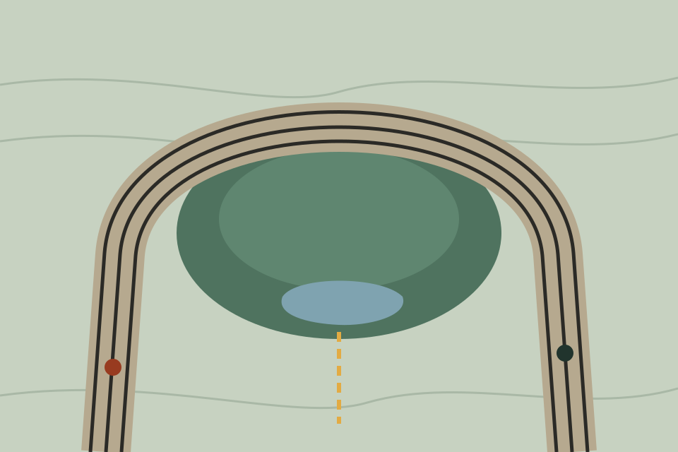
Horseshoe Curve: how the railroad climbed the mountain
The engineering problem west of Altoona, the looping alignment that solved it, the curve’s dimensions and later changes, and its National Historic Landmark listing.
-
The Allegheny Portage Railroad, before the curve
How Pennsylvania carried canal traffic over the Allegheny Mountains on inclined planes from 1834, why the system lost out to the Pennsylvania Railroad, and what remains.
-
Geography: the Allegheny Front and Blair County
Where Altoona sits: the escarpment that divides two physiographic provinces, the valley the city fills, the watershed divide, and the county around it.
-

Local government and civic history
How Altoona went from borough to city, how its form of government changed, how water, streets, schools and parks arrived, and what the census says about its size.
-

Public landmarks in and around Altoona
The historic places the public record documents: two National Historic Landmarks, an ironmaster’s house and furnace, the reservoirs at Kittanning Point, and places now gone.